SPOT on Integration
(SPOT Tracker and TruQC have joined forces to become TRU, a Jones Company)
What happens when you combine two of the leading providers of data and merge their expertise into a high-definition visual? We’ll tell you. You capture more data, more accurately. Behold the power of integration.
Simply put, integration is the uniting of different things in order to create a cohesive and symbiotic whole. To create harmony.
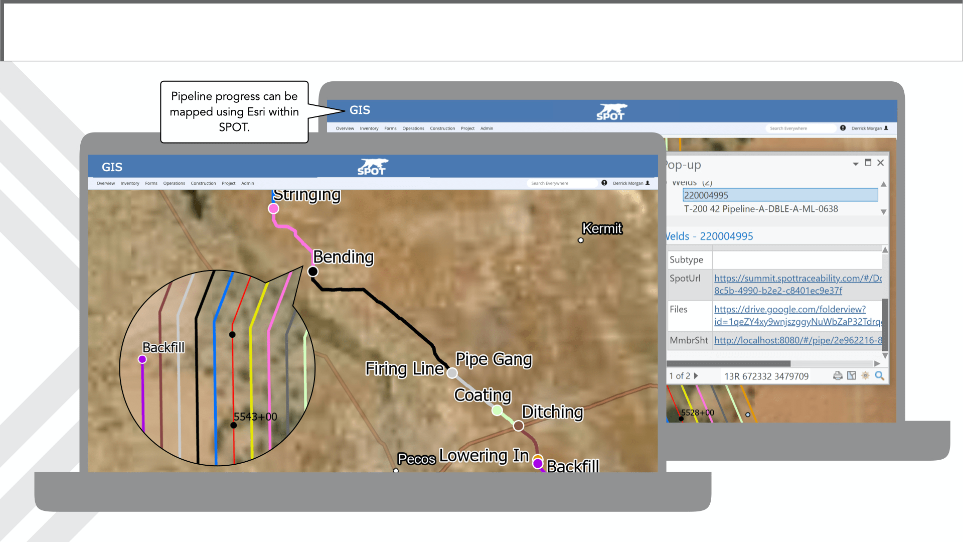
SPOT’s expertise in capturing data coupled with the state of the art Location intelligence technology of Esri, makes SPOT more precise than ever before. “What is Location intelligence” you ask?
“Location intelligence (LI) is achieved via visualization and analysis of geospatial data. Geospatial data analysis enhances understanding, insight, decision-making, and prediction. By adding layers of geographic data—such as demographics, traffic, and weather—to a smart map or dashboard, organizations can use intelligence tools to identify where an event has taken place, understand why it is happening, and gain insight into what caused it.”
Whether SPOT is capturing data through the scanning of barcodes or simple manual inputs into our custom forms, the information that is collected can be analyzed and digitally illustrated, in real-time, to give you an exact snapshot of the progress of any project, anywhere.

The benefit of a digital overlay of the data SPOT captures is a more accurate, time-sensitive, and pinpoint picture of the effectiveness, efficiency, or potential errors to be prevented during the lifetime of a project.
The power of exceptional data capture technology and geospatial analysis is the perfect balance between operation and data. Different functions brought together in a symbiotic relationship to achieve the best results.
Better data starts here.

